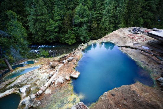
Opal Creek Trail is both a historic industry road and a beautiful nature trail.
The route begins as an easy hike along a limited-access dirt road through an old-growth forest with plentiful river access, eventually transitioning into a serene backcountry trail.
Hikers, mountain bikers, and swimming hole enthusiasts will all find the Opal Creek Trail accessible and enjoyable. Opal Pool is a gem of a destination, with numerous waterfalls and sights along the way.
Trail Details: Opal Creek Trail
| Details | Opal Creek Trail |
|---|---|
| Distance | 7.5 miles |
| Difficulty | Easy |
| Duration | 4 hours |
| Trail Type | Out and back or lollipop loop |
| Starting Elevation | 2480 feet |
| Elevation Gain | 1250 feet |
| Seasons | Spring, summer, fall |
| ADA Accessibility | First mile with creek access |
| Dogs | Allowed on leash |
| Trail Map | Natural Atlas |
| Nearest Amenities | Lyons, OR |
| Directions to Trailhead | Google Maps |
| Parking | $5 day use fee or Northwest Forest Pass |
| Road Conditions | Trip Check |
| Attractions | Waterfall, river, abandoned mining and lumber equipment, historic town |
| Activities | Hiking, backpacking, mountain biking, swimming |
The Hike
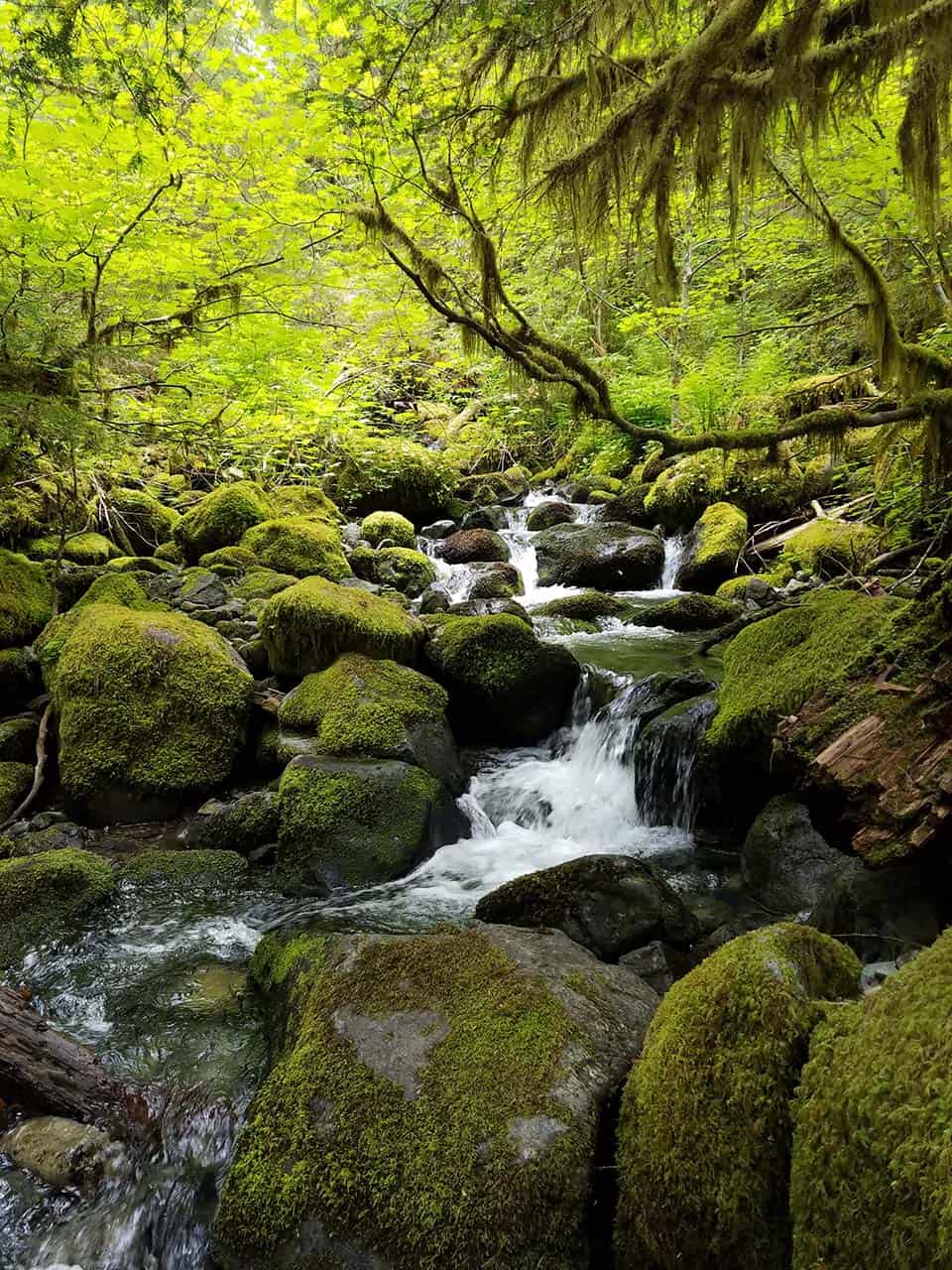
Though not labeled as such, the beginning stretch of this trail is flat and wide enough to be considered ADA accessible. This is because the trail starts as a limited-access road leafing to the historic mining town of Jawbone Flats.
The first mile includes a bridge overlooking Gold Creek Falls and multiple well-graded paths down to the banks of the river. The path becomes a bit rockier after the first mile, but is still considered quite an easy walk by most.
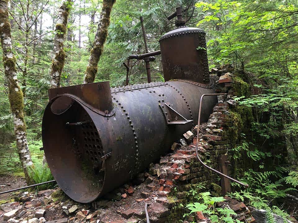
There are old mines and abandoned industrial equipment to be found along the trail, and more can be discovered off the beaten path by adventurous explorers who don’t mind a little bushwhacking.
Don’t fret if you haven’t spotted anything yet because the relic motherload is at the two-mile mark where the historic Merten Mill once stood. Now, all that remains of this steam-powered sawmill is dilapidated machinery, half-buried rail lines, and piles of scrap metal.
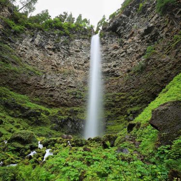
A trail behind the old mill leads down to the river to Cascada de Los Niños, a breathtaking 30-foot waterfall. A little further down the main trail lies Slide Falls which is a popular swimming destination because of the natural waterslide that has been eroded into the rock.
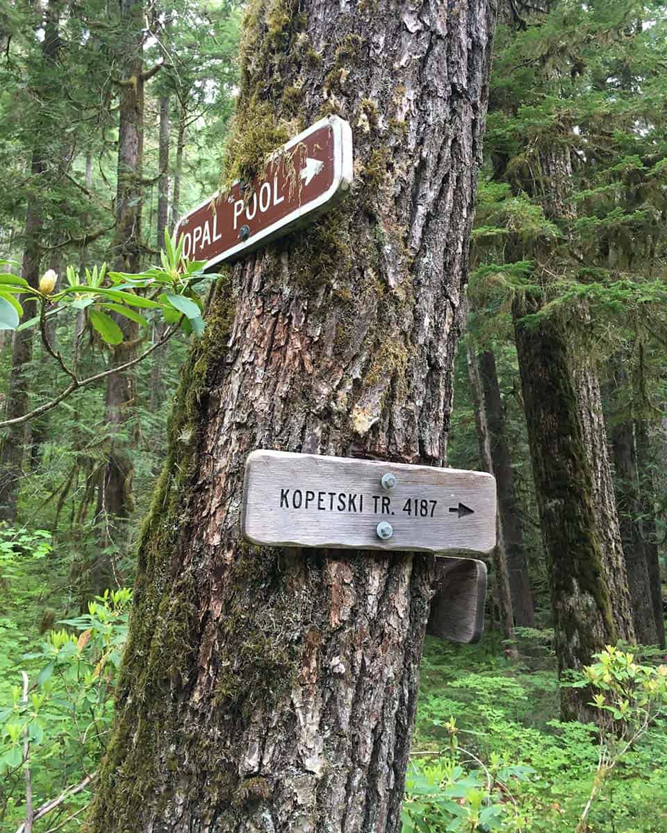
At about 2.5 miles, the trail splits away from the road to Jawbone Flats. The Opal Creek Trail is officially called the Kopetski Trail, and is marked as such on trail signs from here on out. A walking bridge traverses over the Little North Santiam River and leads into the old-growth forest.
The trail is a bit more difficult on this side of the river. Those who want an easier route to Opal Pool can opt to stick to the road and walk through Jawbone Flats to reconnect with the Kopetski Trail at Opal Pool. Both routes can be walked to turn this out-and-back trail into a lollipop loop.
Either way you get there, Opal Pool is quite a sight to behold. This crystalline pool is sandwiched by cascading waterfalls, all of which can be clearly viewed on the bridge that travels over the river here.
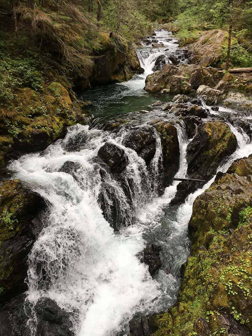
The Kopetski Trail travels even further from here past Flume Creek Falls toward its dead end at an ancient cedar grove known as Cedar Flats, but the trail becomes rugged and challenging after Opal Pool. Going the full length to Cedar Flats will turn this into a 10.5-mile round trip.
When To Visit

Because of this trail’s popularity, the parking area can be overloaded during summer weekends by groups intending to hike to the well-known swimming holes along the Little North Santiam River. If visiting during the summer, you may want to show up early in the morning to beat the crowds.
This trail is accessible year-round. Unless you’re heading out for a swim, we think the best hiking seasons are in the spring and fall when the temperatures are less extreme.
Wildflowers, like the Oregon Iris and wild rhododendrons, are in abundance during the spring months, and there are many broadleaf trees that rival in the autumn can rival the springtime color palette.
Directions to Opal Creek Trailhead
Opal Creek Trail is a popular hiking location. The trailhead is adjacent to a large parking area with a picnic table and an outhouse. Any road-going vehicle can make it to the trailhead, but the last five miles leading up to the trail are along a pothole-ridden dirt road.
Area Tips and Resources
- Rent a Cabin: Cabins rentals are available during the spring and summer at Jawbone Flats. Guests must hike to the cabins and carry their belongings. Each cabin has running water, provided firewood for the fireplace, and electricity. A selection of guided tours and experiences are available for guests.
- Backpacking: There are multiple places to pitch a tent along the Kopetski Trail on the other side of the river from Jawbone Flats for those who want to backpack in the Opal Creek Wilderness. Longer trails, like the Battle Ax Trail which starts near Opal Pool, lead further into the wilderness for more backpacking opportunities.
- Camping: Once your hike is done, drive back down the forest road to where the road you are on NF-2209 interests with NF-2207. Turn onto NF-2207 and head east along the Santiam River for about 1.5 miles to reach Shady Cove Campground.
- Other Nearby Hikes: Have the energy to squeeze in another hike? Check out the Abiqua Falls Trail — just be ready for the rough road to the trailhead and a steep hike in.
Explore More in Oregon
Check out more of our hiking guides for the best places to explore in Oregon.
Sign up for our free email to join thousands of readers getting epic travel, hiking, camping and gear ideas every week.

