North Cascades National Park is a high alpine wilderness among the most difficult places to access in the lower 48 states.
Though the park lies only three hours east of Seattle, it feels like a boundless expanse of all that is natural and good in the world once you are within its borders. Over 94% of the park is designated as the Stephen Mather Wilderness. Much of the landscape is exceptionally remote and difficult to reach.
However, its unmarred beauty begs to be explored. North Cascades National Park contains diverse climates, geography, flora, and fauna to seek out. There are over 300 glaciers in the park and 400 miles of trails to roam.
The park is open year-round, but heavy snows limit access during winter. The main highway through the park is often closed for several months at a time, and so only the most adventurous spirits dare explore its high country outside of summer.
This park is vast, and much of it is only accessible to boaters or long-distance backpackers. Most of the day hikes in the park, and those featured on our list below, are centered around the park’s main thoroughfare — North Cascades Highway.
Still, this list includes a few hikes that are off the beaten path for you intrepid travelers to uncover. There are a few family-friendly hikes near the visitor center and popular campgrounds, but be aware that the extreme alpine topography of the park dictates that most of its trails must go up and into the rugged high country.
Related Read: 9 Amazing Lake Camping Sites in Washington
1. Gorge Creek Falls Loop
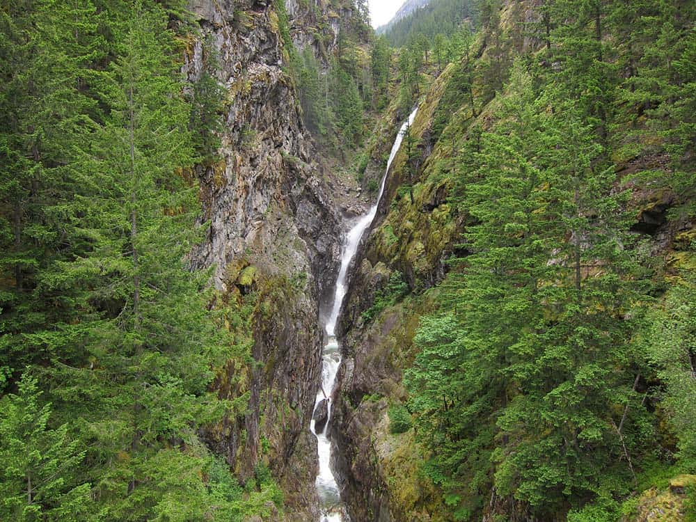
Why you should go: Stretch your legs on this quick, but gorgeous, pit stop along the North Cascades Highway.
- Difficulty: Easy
- Distance: 0.5 miles
- Elevation gain: 39 feet
Gorge Creek Falls Loop accompanies a lovely scenic rest area on the North Cascades Highway. Travelers are treated with a short nature walk that features multiple waterfalls, interpretive signage, and views overlooking Gorge Dam.
The road bridge that crosses over Gorge Creek provides the best views of the waterfalls, but the trail has its own viewpoints as well, and it provides a short break from the highway scenery. Other waterfalls can be spotted pouring off the nearby cliffs when there is enough moisture.
This loop wraps around the small, unnamed hill behind the rest stop. The forest here is lush and thick. Despite its proximity to the highway, you will soon feel as if you meandered down a backcountry trail. Those who travel the full loop will find more viewpoints overlooking the Skagit River, the Gorge Dam, and Gorge Lake.
Related Read: 9 Best Hikes in Washington State for Epic Outdoor Adventures
2. Ladder Creek Falls Trail
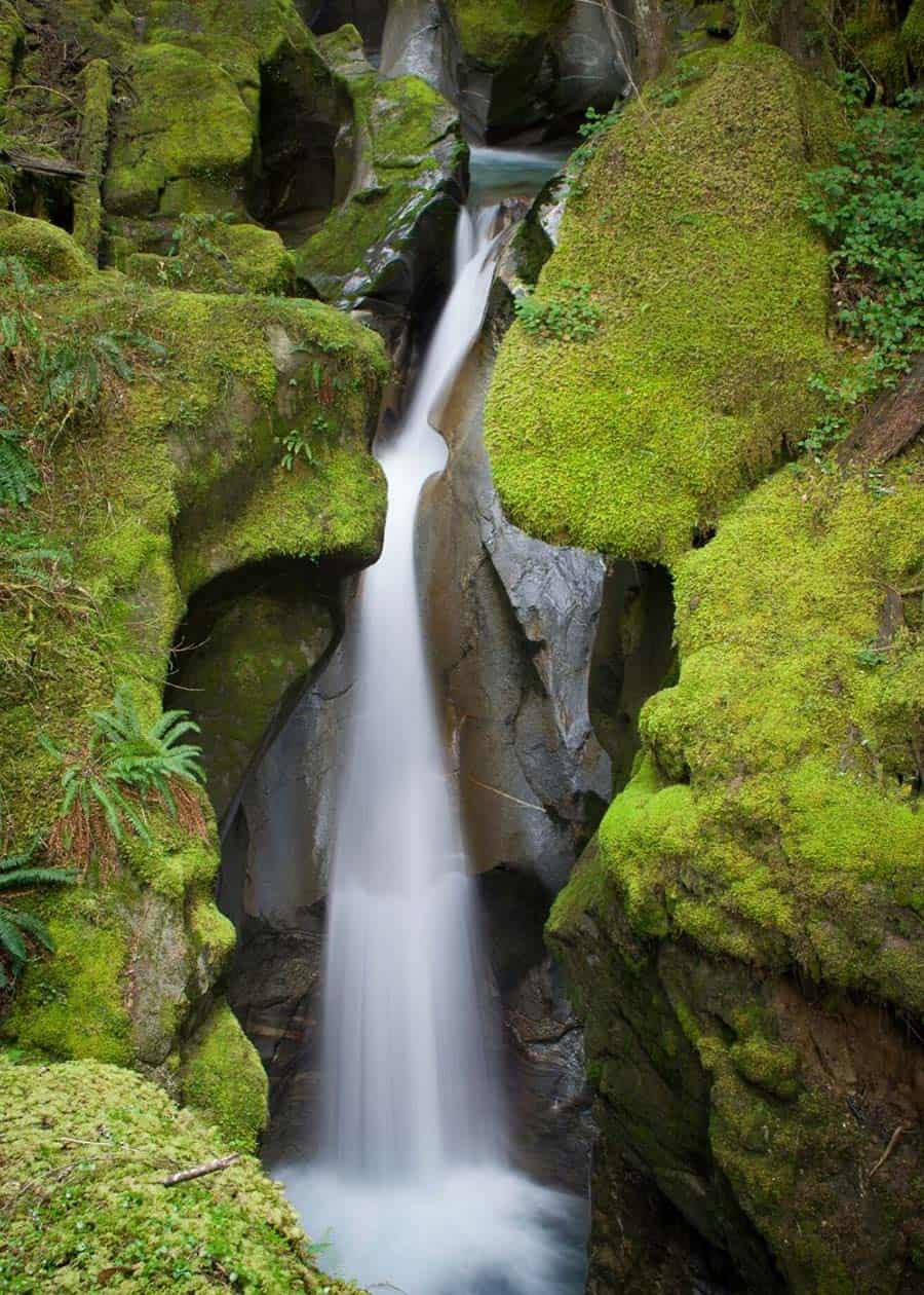
Why you should go: Follow a paved route to a lovely waterfall that is the star of a nightly light show.
- Difficulty: Easy
- Distance: 0.5 miles
- Elevation gain: 116 feet
Constructed to celebrate the creation of the Gorge Powerhouse in Upper Newhalem, the Ladder Creek Falls Trail was meant to showcase the power of Cascade waters. The loop passes by the powerhouse and through a manicured garden.
Every evening from dusk to midnight, the waterfall is illuminated in a dazzling display. The powerhouse grounds are well lit during this time too, but there are sections nearing the falls that remain dark at all times. A headlamp or flashlight should still be carried.
This trail is near the North Cascades Visitor Center, as well as multiple campgrounds and the community of Newhalem where convenience stores and tour guides can be found. It’s a great little hike for anyone stopping by or staying in the area.
Related Read: 10 Scenic Drives in Washington State That’ll Blow Your Mind
3. To Know a Tree Trail and River Loop
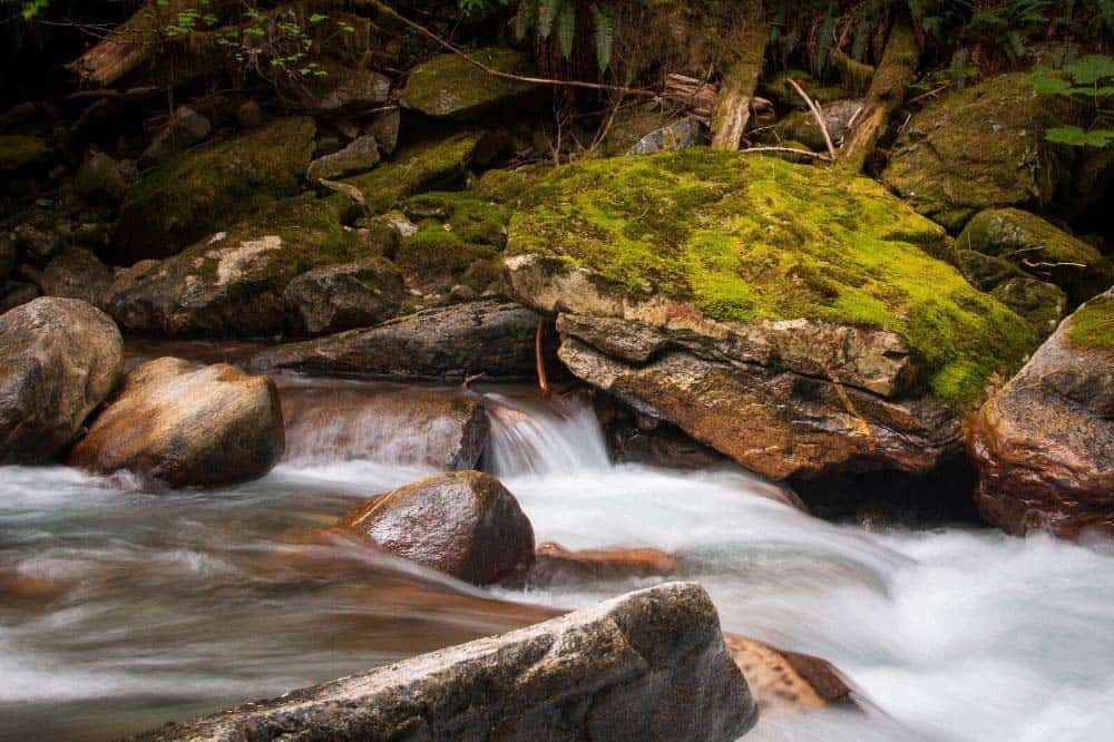
Why you should go: Family fun adjacent to the Newhalem Creek Campground and North Cascades Visitor Center.
- Difficulty: Easy
- Distance: 0.8 or 1.5 miles
- Elevation gain: 20 feet
Easy to access from the North Cascades Visitor Center, the intertwined To Know a Tree Trail and River Loop offer interpretive signage, easy forest walking, and access to a gravel bar on the bank of the Skagit River.
There are plaques that can be found along the trail that identify the native plants and trees you are walking by. These trails also connect the visitor center to the nearby outdoor amphitheater, where ranger presentations are frequently held, and the Newhalem Creek Campground.
This inviting trail is well-maintained with hard-packed soil, benches, and small creek-crossing bridges. Children will enjoy identifying plantlife with help from the signage and exploring along the river.
4. Trail of the Cedars Nature Walk
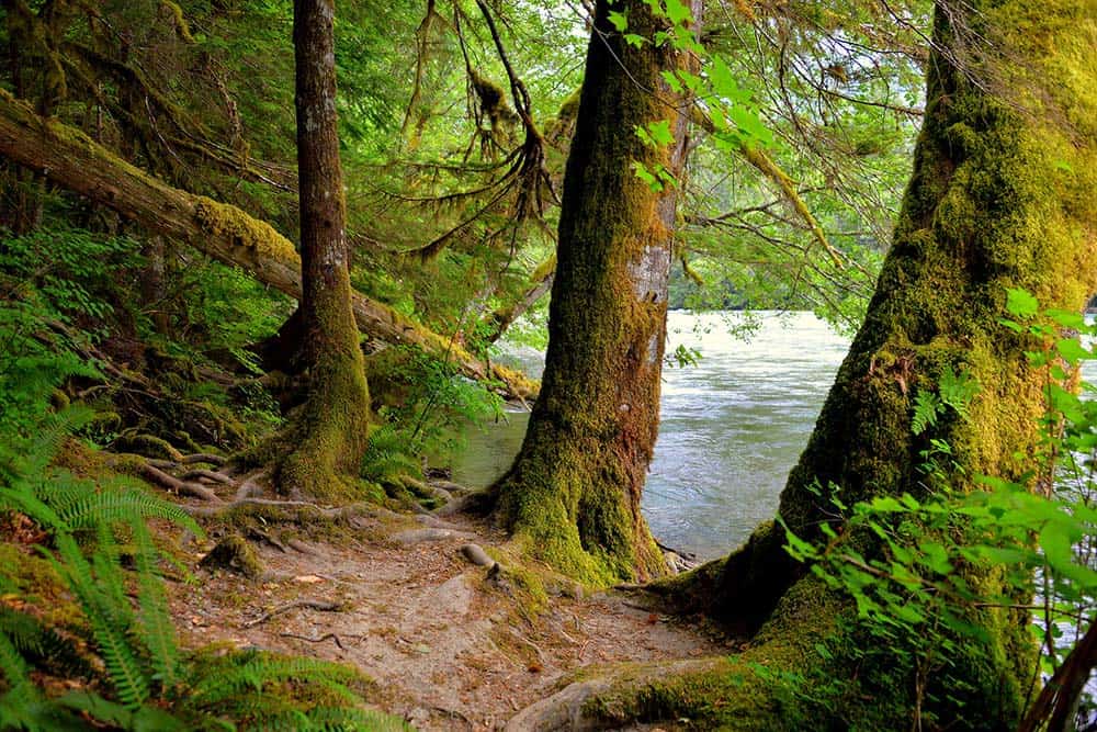
Why you should go: Learn about local flora and fauna while overlooking the Skagit River.
- Difficulty: Easy
- Distance: 1.0 miles
- Elevation gain: 25 feet
The Trail of the Cedars Nature Walk begins with a trek across a suspension bridge that crosses the Skagit River. From here, the trail loops through a cedar forest that has been subjected to two wildfires in the past century, providing a unique look at various stages of forest growth and recovery.
Interpretive signage lines the route, informing about the different cedar varieties and the impact the fires have had upon them. These signs also share information about local wildlife such as the native deer populations and spawning salmon.
It’s a short walk with big rewards. The trail begins and ends in the town of Newhalem, conveniently located just a few steps away from the local inn and general store.
Related Read: The 15 Best Hikes in the Mount Baker Wilderness
5. Trail of the Obelisk
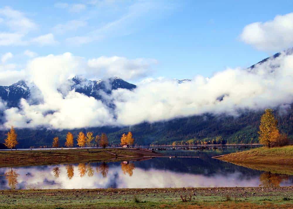
Why you should go: Take a walk along the border of America and Canada.
- Difficulty: Easy
- Distance: 0.8 miles
- Elevation gain: 264 feet
Located in Hozomeen, which is the northern-most vehicle access point in the park, the Trail of the Obelisk guides hikers along the border between the United States and Canada. The highlight of the trail is the metal obelisk that signifies the official location of the border.
Accessibility to Hozomeen and the trailhead is difficult, making it a fairly remote location within the park, though it does have some conveniences. Visitors will either have to traverse a 40-mile gravel road from the north in Canada or arrive by boat from Ross Lake.
There is a staffed information station, a campground, and a boat launch near the trailhead. Aside from the obelisk, hikers will find serenity amid the towering pine forest of the region. Solitude on such an easy trail is rarely found, so soak it up if you make it out this way.
6. Blue Lake Trail
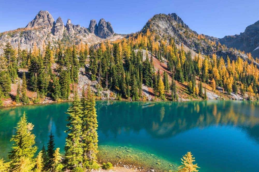
Why you should go: Visit a high alpine lake that is only two miles from the highway.
- Difficulty: Moderate
- Distance: 4.4 miles
- Elevation gain: 1050 feet
Something special happens inside of you the first time you see a high alpine lake, especially one with looming granite peaks behind it that are reflected on its mirror-like surface. Backpackers often hike many miles in search of such a lake, but the Blue Lake Trail grants access to such a place only a couple of miles from the road.
Leaning on the easier side of moderate difficulty, most people should be able to complete this hike. It starts off easy with a series of boardwalks through the pine forest, then climbs a bit toward a meadow where you’ll have a good chance at spotting some local wildlife, perhaps even an elk or bear.
The babbling sound of the lake’s outflow stream will signify that you’re nearing your destination. Once in view of the lake, you’ll cross the creek and come upon an old log cabin. From here, find a nice spot at the lake to dip your toes in its icy water. Keep an eye out for mountain goats in the cliffs above.
Related Read: 11 Best Glamping Spots in Washington for a Natural Getaway
7. Heather-Maple Pass Loop
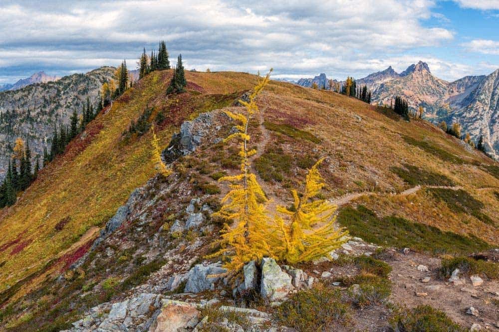
Why you should go: Magnificent views that continue to get better the higher you hike.
- Difficulty: Moderate
- Distance: 7.2 miles
- Elevation gain: 2022 feet
Heather-Maple Pass Loop’s trailhead lies within the Okanogan-Wenatchee National Forest just outside of North Cascades National Park. It is one of the most fantastic day hikes in the area, however, and you do cross into the national park at the highest point of the trail.
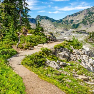
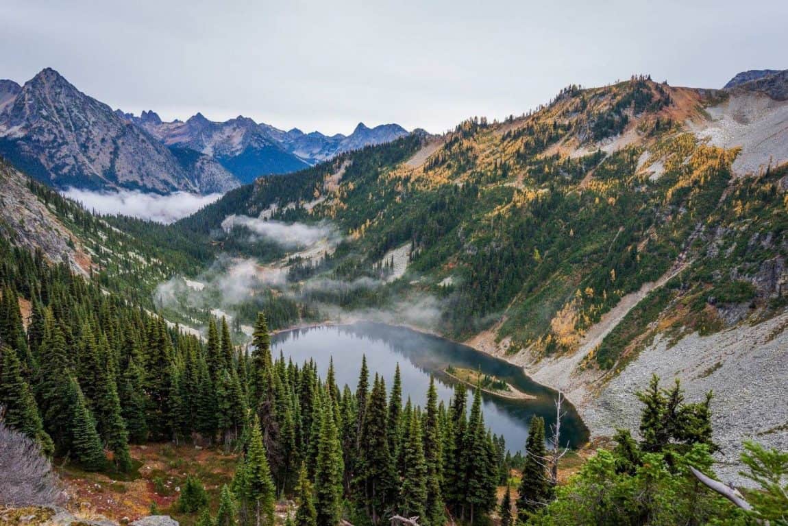
Beginning at Rainy Pass, the trail climbs through pine and lark forest up to where ptarmigans roost and wildflowers cling to craggy mountain slopes. At Heather Pass, you will be subjected to awesome mountain views, and further on, at Maple Pass, the view expands to as far as the eye can see.
It’s a ridge walking good time up here in the High Cascades. Even when the loop turns downward once more, the views never disappoint. There are several side spurs along this route to alpine lakes and more viewpoints for those who wish to explore a little further.
8. Pyramid Lake
Why you should go: Tranquility and an abundance of wildlife make this a special trek.
- Difficulty: Moderate
- Distance: 3.4 miles
- Elevation gain: 438 feet
Pyramid Lake lies between the popular national park tourist areas of Newhalem and Diablo Lake. It is a little-traveled route that cuts through a pine, hemlock, and fir forest with lush understory toward a small backcountry mountain lake.
The hike is a consistent, yet mild ascent toward Pyramid Lake. You will be near Pyramid Creek for most of the journey where there is a small waterfall to discover. On your way, you’ll be passing through dense swaths of deer fern and huckleberry dotted with wildflowers like bunchberry and pipsissewa.
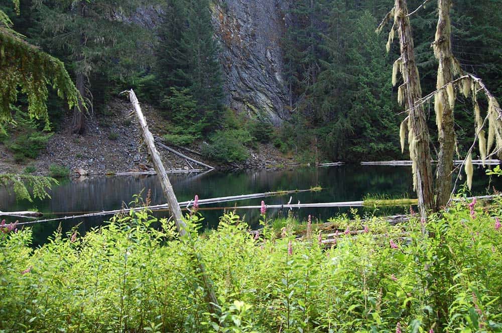
The lake itself is the result of a landslide, and as such is buried in boulders and fallen logs. Time has made it a beautiful, cozy space, though. The log gardens are covered in moss and have created a utopia for bug and plant life. The boulders to the left of the trail provide a nice place to rest and have a picnic while you gaze deep into the lake and up at the looming peaks in the distance.
Related Read: The 10 Best Pet-Friendly Cabins in Washington
9. Thunder Knob Trail
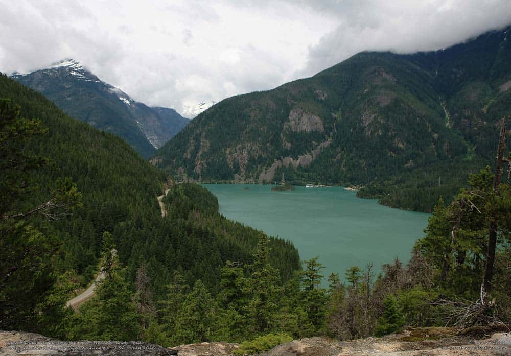
Why you should go: Expansive views overlooking Diablo Lake with bench seating.
- Difficulty: Moderate
- Distance: 3.8 miles
- Elevation gain: 668 feet
The Thunder Knob Trail starts off at the north side of Colonial Creek Campground at Diablo Lake’s southern end. Hikers will cross over a series of footbridges and around several walk-in campsites on their way to the official trailhead.
Though the journey is uphill the entire way, there are multiple resting points along the trail with bench seating. These rest points showcase some of the best views on this hike including sights of Colonial Peak and Diablo Lake.
You’ll climb through several microclimates on your way to the knob beginning at the verdant alluvial creek wash, then climbing through a pine forest, turning around to the dry southern end of the mountain, and passing by a small pond just below the knoll. At the top is more bench seating with all-encompassing views of distant Cascade peaks and the lake below.
10. Cascade Pass to Sahale Glacier
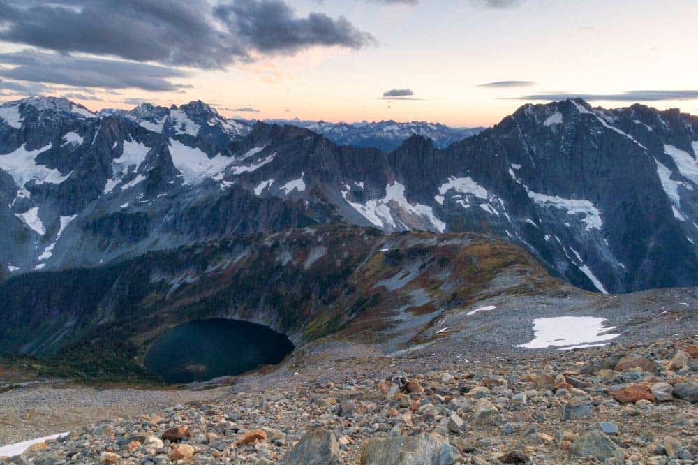
Why you should go: Snow-capped peaks and glacial views aplenty on this epic day hike.
- Difficulty: Challenging
- Distance: 11.8 miles
- Elevation gain: 3940 feet
Though a strenuous hike, the Cascade Pass to Sahale Glacier is one of the most popular trails in all of North Cascades National Park. It is the shortest route hikers can take to enter the park’s majestic glacial alpine environment, and there are many wonders to behold throughout.
The parking area fills up quickly, so plan to arrive early. Starting with a long series of switchbacks, this trail lets you know what it is all about right from the get-go. Slivers of awe-inspiring views can be seen between the tall trees and tease you of what lies ahead.
Eventually, you will surmount the switchbacks and cross a scree field on your way to Cascade Pass where the views are simply astounding. Many hikers turn around here after spending some time with the sights, but there are multiple routes you can continue on from this junction, including the climb to Sahale Glacier.
The route to the glacier is well-trodden and marked with cairns, though you will cross several snowfields before you reach the bases of the glacier.
Related Read: 11 Warm & Cozy Yurt Rentals in Washington
11. Desolation Peak
- Difficulty: Challenging
- Distance: 9.2 miles
- Elevation gain: 4528 feet
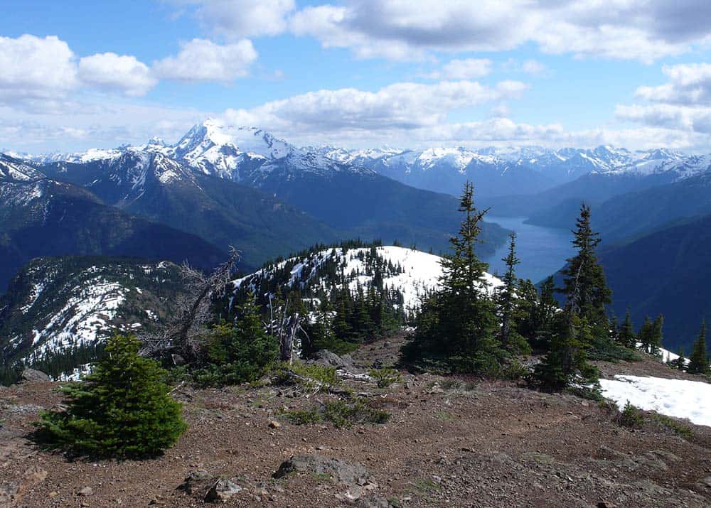
Why you should go: You’re boating around Ross Lake and want to hike to a fire lookout with stunning views.
Ross Lake is nearly inaccessible to vehicle traffic other than from Ross Lake Resort at its southern end and Hozomeen Campground at its northern point. That makes is so that there are many backcountry campsites and trails that are inaccessible to all except boaters and long-distance hikers.
Desolation Peak is one such trail. A boat dock and pit toilet are located at its trailhead. The only other way to access this place is to hike 18 miles on the East Bank Trail. Despite its remoteness, this hike is sought out by intrepid adventurers for its literary history as much as its splendor.
It’s a steep ascent to the peak, but the views at the top are truly spectacular. The famed fire lookout at the summit was once inhabited and written about by famed author Jack Kerouac. You can explore the lookout and take in the beautiful panoramic view which includes the fjords of Ross Lake, Jack Mountain, and Nohokomeen Glacier.
12. Hidden Lake Trail
- Difficulty: Challenging
- Distance: 9 miles
- Elevation gain: 2900 feet
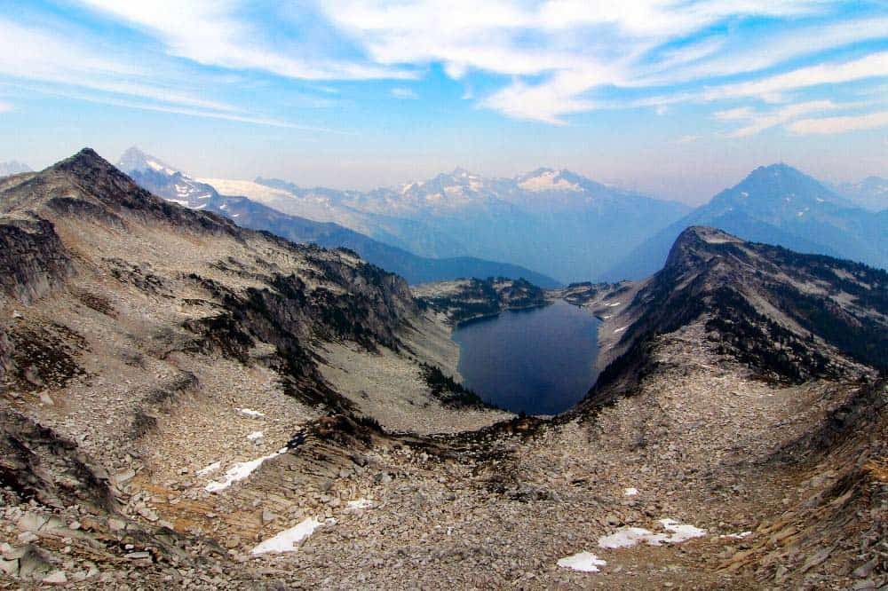
Why you should go: Exquisite views of craggy mountaintops, lake basins, and wildflower meadows.
The Hidden Lake Trail leads hikers on a continuous ascent that quickly leaves the forest behind for open-air ridge walking and swaths of wildflower meadows. Boardwalks have been laid over the muddiest sections of the trail, and the widest creek crossings feature stout bridges.
That said, this hike may be difficult, but it is known for being one of the most rewarding in the park. You will encounter avalanche chutes, glaciers, snowfields, rock scrambles, and nearly every other alpine terrain you could imagine, but the trail has been well taken care of and is exceptionally passable.
An azure jewel deep in an alpine bowl, Hidden Lake comes into view as if from nowhere. It is possible to rock scramble down to the lake waters, but the true trail continues another half mile uphill to a maintained lookout cabin. Here, the views are breathtaking. The lake lies like a sacred pool of blue nectar within the green and grey mountainous landscape.
Related Read: 12 Secluded Cabin Rentals in Washington for Private & Remote Getaways
13. Thornton Lakes Trail
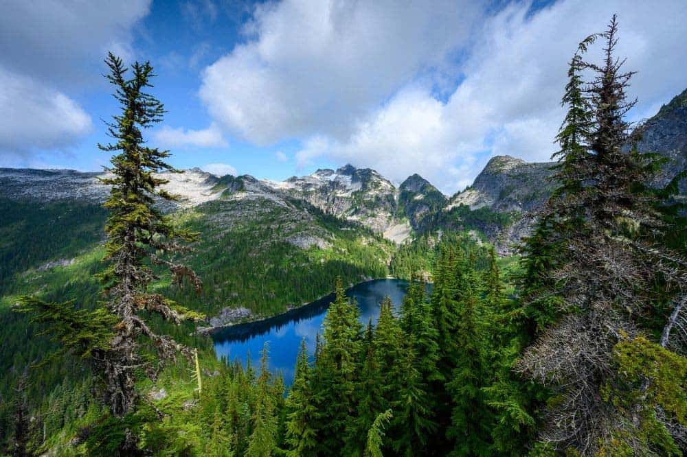
Why you should go: Opportunities for lakeside camping and off-trail exploration.
- Difficulty: Challenging
- Distance: 9.5 miles
- Elevation gain: 3067 feet
Thornton Lakes Trail is popular among enthusiastic day hikers, climbers, and overnight backpackers. Its trailhead starts just down the road from the park’s visitor center, and the first miles are along an overgrown loggers road. The trail is soon closed in upon by hemlock, fir, cedar, and maple as hikers make the ascent to the ridge overlooking the lakes.
A side spur at the ridge leads to a scramble up Thornton Peak, which provides the best view over the three cirque lakes. The main trail offers up its own outstanding sights, though, overlooking the first of the lakes and providing a feast for the eyes including the Skagit Valley, Teebone Ridge, and Mount Triumph.
The trail then descends to Lower Thornton Lake, and it opens up to exploration from here. Boulder and log hopping will get you around the lake outlet, and trails forged by the feet of previous explorers lead up to the other two lakes.
Explore More in Washington
Get epic travel ideas delivered to your inbox with Weekend Wanderer, our newsletter inspiring more than 10,000 readers every week.
Seen in: Hikes, National Parks, Washington, West

