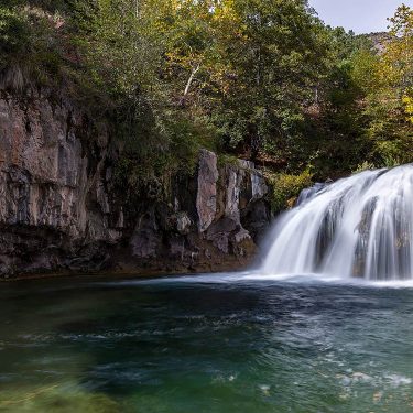
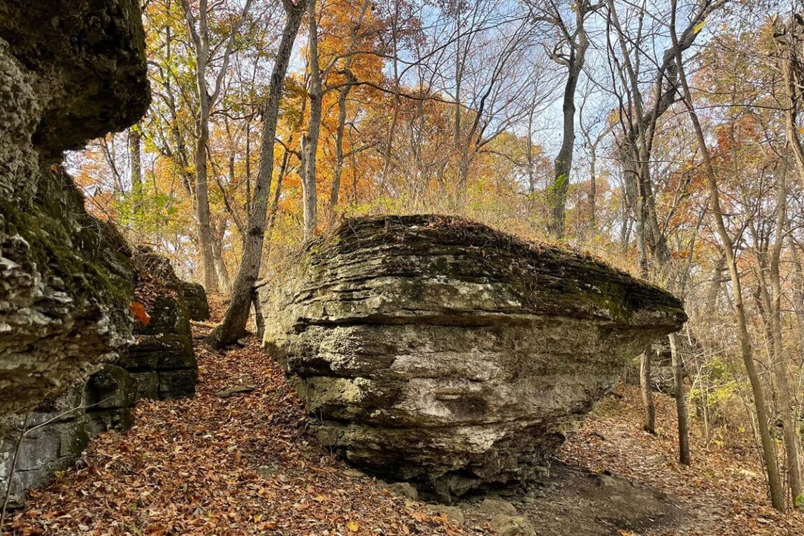
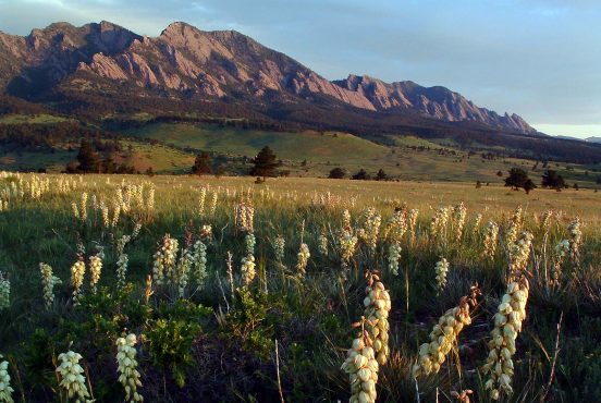
As surprising as it may sound for a landlocked city, Kansas City’s best hikes all have something in common: water.
Some hikes follow creeks past waterfalls and swimming holes. Other trails circumnavigate lakes created by the Army Corps of Engineers. In fact, Kansas City itself sits at the meeting place of two mighty rivers – the Kansas and Missouri.
Best of all, the city’s top hiking trails are all located within 35 minutes of downtown. Urban Trails Co. maintains many of the best hiking trails in the Kansas City metro. Always check for up-to-date trail conditions before you head out.
From waterfalls along ADA-accessible trails to miles of hilly paths with lakeshore views, and everything in between, head to one of these nine hiking areas to experience the best of Kansas City.
1. Swope Park
View this post on Instagram
Why you should go: great hiking located in the middle of the city
- Location: Kansas City, Missouri
- Difficulty: easy to moderate
- Distance: 2 to 8 miles
- Elevation gain: 150
Twice the size of New York’s famous Central Park, Kansas City’s Swope Park is home to an open-air theatre, nature center, golf course, dog park, community gardens, and the Kansas City Zoo. Most importantly, Swope Park has over 20 miles of trails.
Head to the southeast corner of the park to explore its mountain biking trails. The easier 3.5-mile Rancho D-Lux Trail runs along the upper section of limestone bluffs, while the more moderate 8-mile Wudchuk Run winds through the lower sections. These trails intersect frequently, and have more difficult offshoots available, allowing you to customize your hike based on your ability and timeframe.
Fox Hollow Trail meanders alongside its namesake creek through woods, wetlands, and limestone outcroppings behind the Lakeside Nature Center. This kid-friendly trail has some steep sections, and if it has rained, expect some mud. Bring your binoculars to take advantage of excellent birding opportunities and your bug spray during the summer since dense vegetation lines the trail.
Related Read: 10 Awesome Weekend Road Trips from St. Louis, Missouri
2. Blue River Parkway
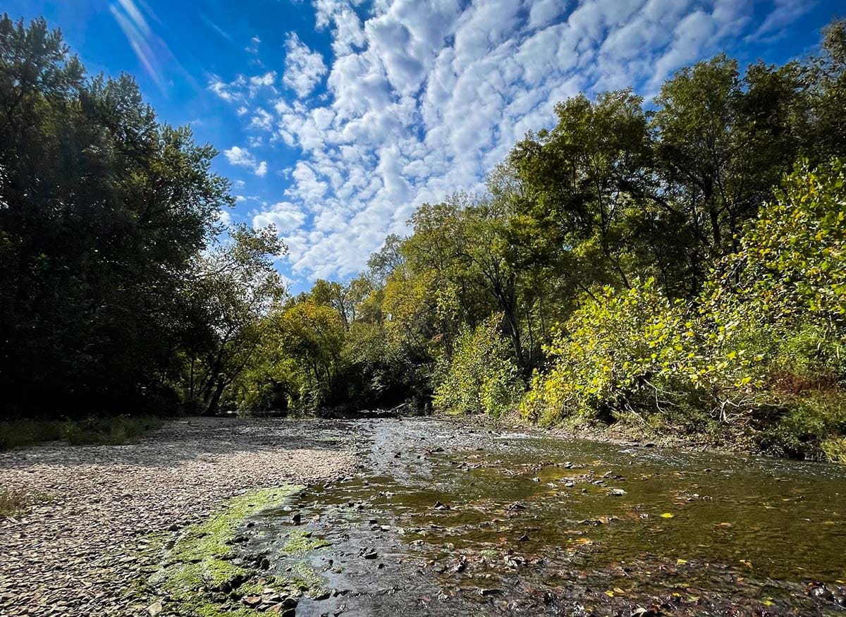
Why you should go: A great trail with riverfront access
- Location: Kansas City, Missouri
- Difficulty: easy to moderate
- Distance: up to 26 miles
- Elevation gain: 200 feet
The Blue River Parkway Trail System consists of 5+ miles of paved trails and 26+ miles of dirt mountain biking trails. The trails wind through the woods and along the banks of the Blue River.
Arguably the best place to access both sets of trails is in Minor Park, off Blue River Road. The southern terminus of the paved Blue River Parkway Trail is located at the north end of the parking lot next to the tennis courts. Continue along the circular parking lot to find the Minor Park Trail, which quickly leads to the River and Highwater mountain biking trails. Here you can access the Blue River by heading south, as well as many unique features like downed logs to explore.
While in Minor Park, check out the love locks on Old Red Bridge. It’s a Kansas City tradition for couples to affix a lock on the bridge to proclaim their “unbreakable” love. Find the Old Red Bridge near the current vehicle bridge over the Blue River on Red Bridge Road between Holmes and Blue River Road.
Related Read: 6 Unique Places to Go Glamping in Missouri
3. Parkville Nature Sanctuary
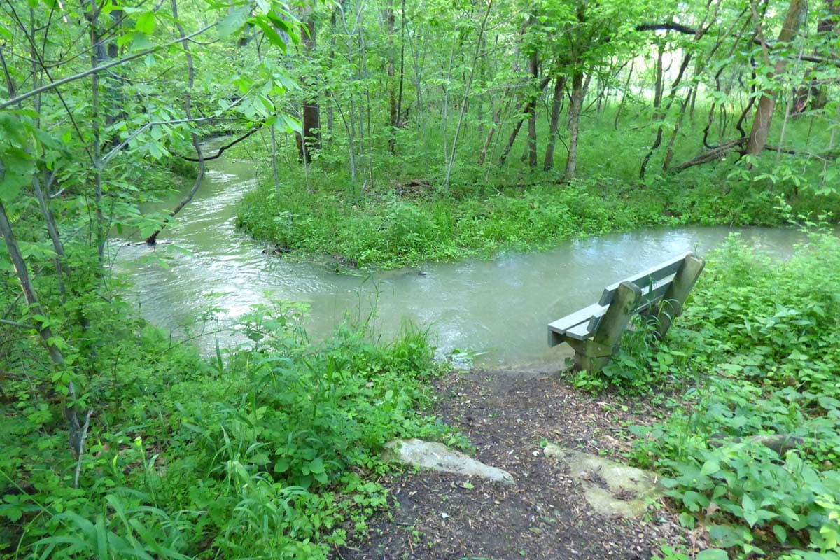
Why you should go: Short, easy hike to a 30-foot waterfall
- Location: Parkville, Missouri
- Difficulty: easy to moderate
- Distance: 1 to 2 miles
- Elevation gain: 100 feet
Kansas City hikers of all ages love the Parkville Nature Sanctuary. Immerse yourself in the woods and experience a 30-foot tall waterfall, all within an easy one-mile hike.
To access the waterfall, park in the lot behind the Platte County Health Department, and make your way into the woods on the Old Kate Trail. Benches along the trail provide an opportunity to pause and gaze up at the canopy above created by oak and hickory trees. Enjoy the 30-foot cascading falls from the trail, or climb one of the social trails to the top for a different perspective.
The dirt trail continues to wind through the woods crossing the creek, along the side of the Riss Lake Dam, and across boardwalks. Past the former Girl Scout cabin, you will cross the White Tail Trail. This route offers more challenging terrain through the southeast side of the sanctuary, and loops back around to rejoin Old Kate as you make your way back to the parking lot. Near the end of the trail, you will come across a nature play area with logs to walk across, loose parts to build with, and trees to climb – fun for all ages.
The best time to experience the waterfall is a few days after a heavy spring rain, however, the falls flow most of the year. The sanctuary is a great place to view fall colors at the end of October.
Related Read: 10 Best Tiny House Rentals in Missouri for Big Adventure
4. Line Creek Trail
View this post on Instagram
Why you should go: Friendly for all abilities & ages
- Location: Riverside, Missouri
- Difficulty: easy
- Distance: 8.4 miles
- Elevation gain: 100 feet
Line Creek is the best paved trail in Kansas City — perfect for strollers, wheelchairs, bikes, and hikers of all abilities. It follows its namesake waterway, beginning on the northern banks of the Missouri River at E. H. Young Riverfront Park in Riverside, Missouri. The trail winds its way through the Northland until it joins the 152 Trail, just south of 152 Highway.
A multitude of access points along the way make the Line Creek Trail very user-friendly. Popular trailheads include Renner Brenner Park, Homestead Park, and Gower Ave., as well as the Line Creek Community Center. Wherever you decide to access the trail, hikers are treated to densely wooded areas, neighborhood parks, and small waterfalls.
Like many trails in Kansas City, the Line Creek Trail has unique things to offer for hikers year-round. The creek and its waterfalls swell thanks to spring rains. In the summer, dip your toes (or more) in the creek to cool off on a hot day. Line Creek is a popular spot for autumn leaf peeping, and a dusting of snow transforms the surrounding woods into a winter wonderland.
5. Burr Oak Woods Conservation Area
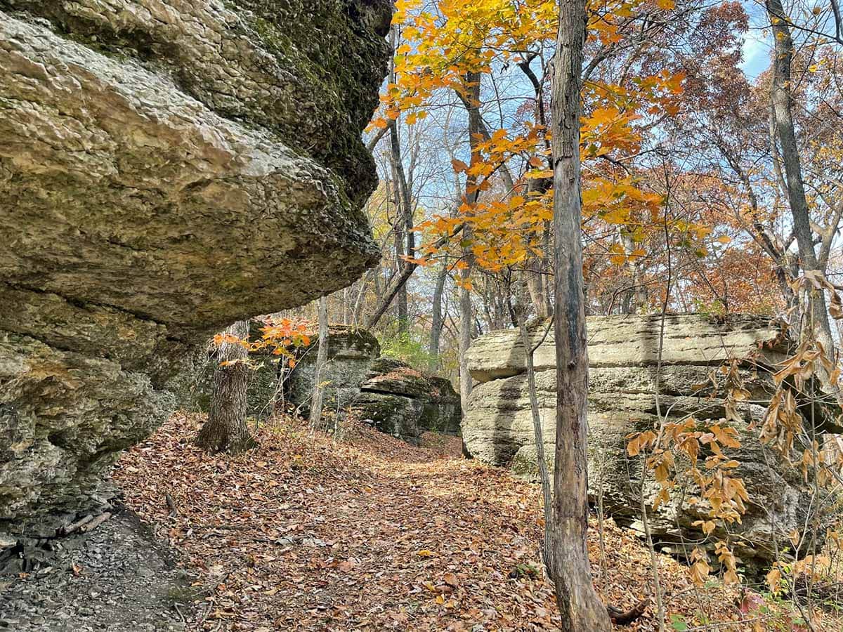
***Photo suggestion – I shared some photos of the limestone outcroppings
Why you should go: Explore 300 million-year-old limestone outcroppings
- Location: Blue Springs, Missouri
- Difficulty: easy
- Distance: 1 to 2.5 miles
- Elevation gain: 100 feet
A straight shot east on I-70 from downtown, Burr Oak Woods Conservation Area in Blue Springs features some of the best short hikes in Kansas City.
Follow the park road to the end where it stops at a parking lot, which has a vault toilet. The Bethany Falls Trailhead is on the north side of the lot. From here, cross the wooden bridge over Burr Oak Creek and veer left into the woods. The Bethany Falls Trail makes its way through woodland, savannah, and prairie. Be on the lookout for what’s left of an old homestead along the way.
The real highlight is making your way around and through large outcroppings of Bethany Falls’ limestone. While not great for bouldering, you can walk along the top, or wind your way between them along the trail. Expect shade on this well-maintained and well-traveled trail. As a result, it gets muddy after rain and icy in the winter.
Pro tip: If you have kids with you, be sure to check out the nature center and surrounding discovery trails. Also, Pink Hill Park, located just before entering the conservation area grounds, has two playgrounds, a BMX track, and picnic areas to refuel at once you’re finished hiking.
6. Charles David Hartman Memorial Park
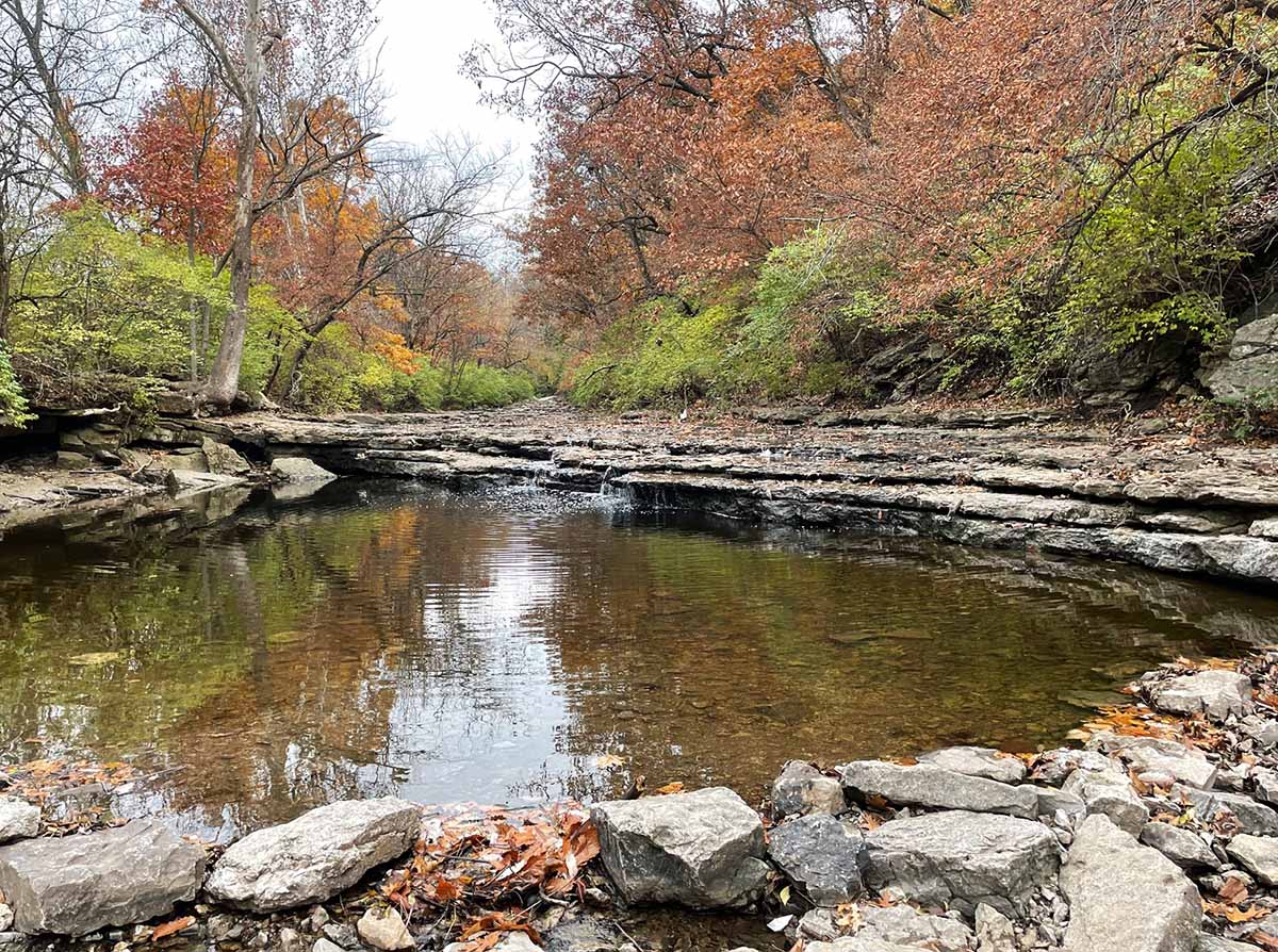
Why you should go: tons of different trails, all close together
- Location: Lee’s Summit, Missouri
- Difficulty: easy to moderate
- Distance: .63 to 16+ miles
- Elevation gain: 60 feet
Charles David Hartman Memorial Park is a gateway for all sorts of hiking opportunities in the Kansas City metro. Stay in the park and follow the 0.63-mile paved trail around the ball fields, but don’t be afraid to follow the social trails to experience Cedar Creek and its waterfalls up close. People splash in the creek and even swim here, but be aware, so do snakes regularly, and copperheads are common in the area.
Check out the adjacent Winterset Park Nature Area southwest of the playground for just under a mile of wood-chipped trails that wind through the hills and along the creek banks. This area has tons of social trails that lead you through the woods, under bridges, and down to the creek. When the water is low you can walk along the creek bed, and when the water is flowing you can swim at the base of the waterfalls. Expect to find crawfish and tadpoles, as well as lots of good skipping rocks.
A short downhill from the parking lot is a trailhead for the Rock Island Trail. This rail-to-trail stretches north to the Truman Sports Complex (home of the Kansas City Chiefs and Royals), and south through Lee’s Summit. It will eventually connect to the Katy Trail, a rail trail that traverses the state of Missouri. This relatively flat, fine-gravel trail offers a nice break from the very hilly terrain in the area.
7. Shawnee Mission Park
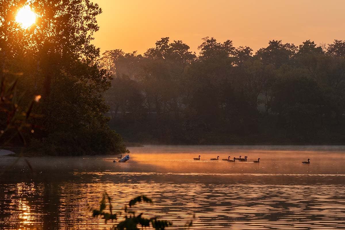
Why you should go: accessible and easy, these trails are great for an easy afternoon stroll
- Location: Lenexa, Kansas
- Difficulty: easy to moderate
- Distance: .7 to 6.5+ miles
- Elevation gain: 500 feet
If you have to choose one park to visit in Kansas City, head to Shawnee Mission Park (SMP). Besides great hiking trails that range from paved to winding single tracks, SMP has a disc golf course, a beach, a marina, and an off-leash dog park with its own dog beach.
Trails at SMP are separated into the mountain biking trails, labeled by color, north of the lake, and the south shore trail loops, for hiking only. The park has paved trails that run throughout, connecting its many playgrounds, parking areas, and shelters.
The South Shore Trail along the south side of Shawnee Mission Lake splits into three loops: east, middle, and west. To access the east loop, park at Hickory Grove near the playground and head south. Join the dirt trail as you cross the creek. While the east loop offers the most time near the lake, all three loops offer views of the shoreline. Check out this 6.8-mile-route circumnavigating the entire park.
During the summer, you can go to the beach, rent a watercraft to enjoy the lake, check out the pump track, or play disc golf after you’re done hiking. During the winter, the lake freezes slowly and breaks apart, making gorgeous ice features along the shore, definitely worth braving the cold to experience.
Related Read: 8 Incredible Spots to See Fall Foliage in Arkansas
8. Wyandotte County Lake Park
View this post on Instagram
Why you should go: A great chance to see some horses
- Location: Kansas City, Kansas
- Difficulty: easy to moderate
- Distance: 1.25 to 19 miles
- Elevation gain: 300 feet
Wyandotte County Lake Park has the best single-track hiking trails on the Kansas side. Most of the park is designed for horseback riding and mountain biking, but the east side trails offer great options for hikers. Here, moderate trails like the White Tail Loop and 357 Trail gradually make their way up and down the hilly woods, with views of the lake along the way. Trails are a mix of dirt and rock, but not overly technical. 357 Trail is a great place to enjoy the autumn golden hour. Watch the sunset over the water as the leaves change color and fall.
The park also has a marina, playground, archery range, off-leash dog park, and is home to the F.L. Schlagle Library & Environmental Center for you to explore after your hike.
9. Weston Bend State Park
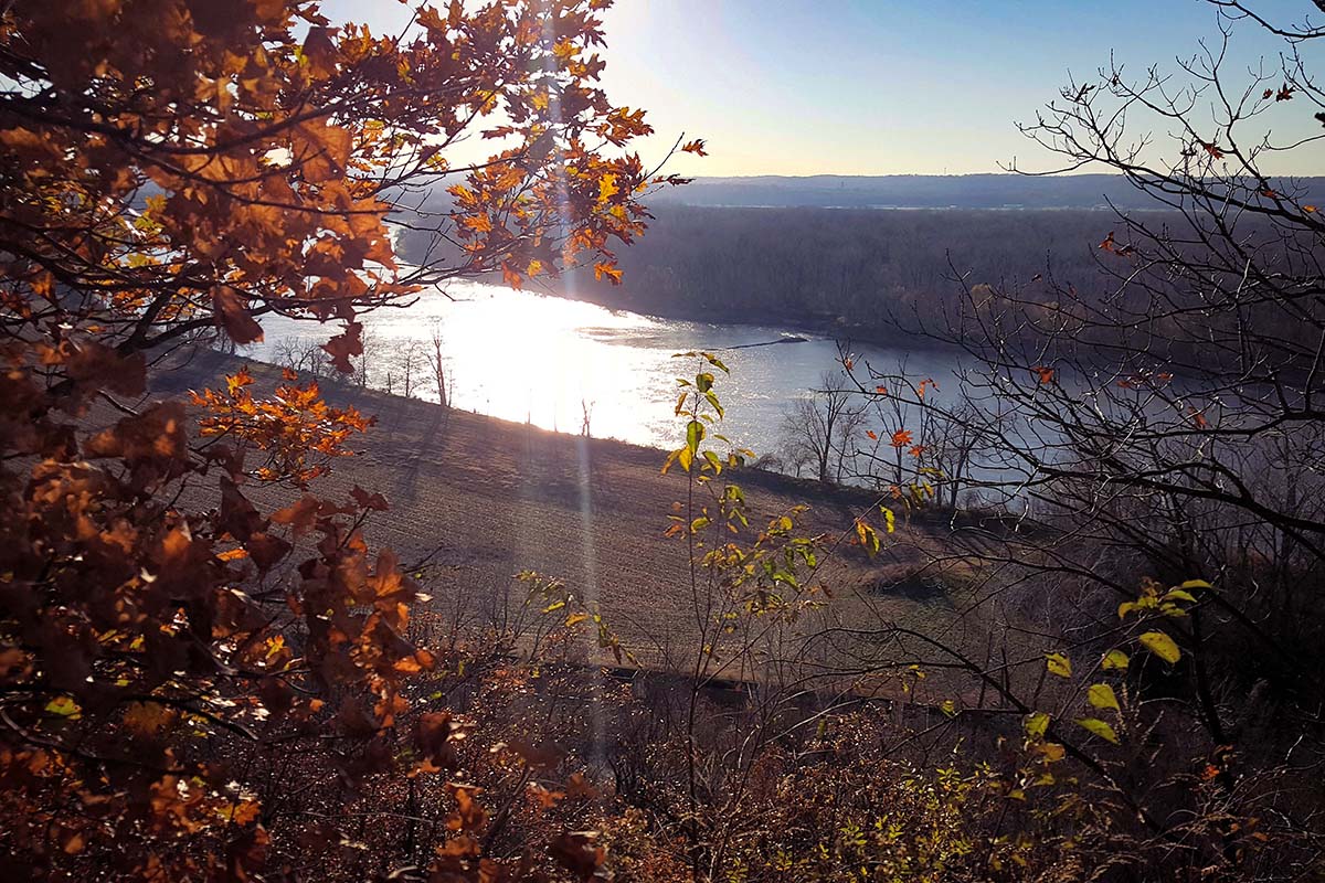
Why you should go: Sweeping views of the Missouri River
- Location: Weston, Missouri
- Difficulty: easy to moderate
- Distance: .7 to 3.1 miles
- Elevation gain: 300 feet
Perhaps the most well-known hiking spot just outside of Kansas City, Weston Bend State Park makes gorgeous views and well-maintained hiking accessible to all ages and abilities.
In the fall, Kansas Citians flock north to the bluffs to experience the expansive views of the Missouri River and its shoreline lit up in blazing red, orange, and yellow leaves. Year-round, Weston Bend State Park has a variety of shorter hiking trails, as well as a campground with hot showers, flush toilets, and electric hookups.
A 0.7-mile loop, Harpst Trail, takes you through the woods across slightly strenuous terrain with exposed rocks and roots along the trail. Complete the loop and call it a day, or head out on the Paved Trail (green blazes), a 3.1-mile hiking and biking loop that travels through canopies of cottonwoods, maples, sycamores, and oak, as well as old farm fields with prairie grasses and wildflowers.
To maximize your views of the Missouri River, take the Harpst Trail to either the West Ridge Trail (blue blazes), which continues through the bluffs, or take the 0.2-mile White Connector Trail to access the less strenuous Weston Bluffs Trail (brown blazes). From here you can explore short trails down to Bear Creek or the Missouri River. Weston Bluffs Trail runs parallel to the river and goes straight into downtown Weston. Visitors often hike or bike into town to check out Weston’s unique festivals, shops, and restaurants, including O’Malley’s, an underground pub.
Where to Go Next
Get epic travel ideas delivered to your inbox with Weekend Wanderer, our newsletter inspiring thousands of readers every week.

