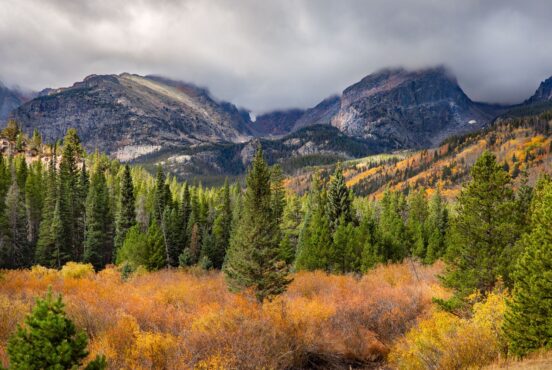
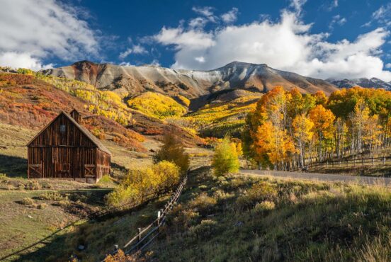
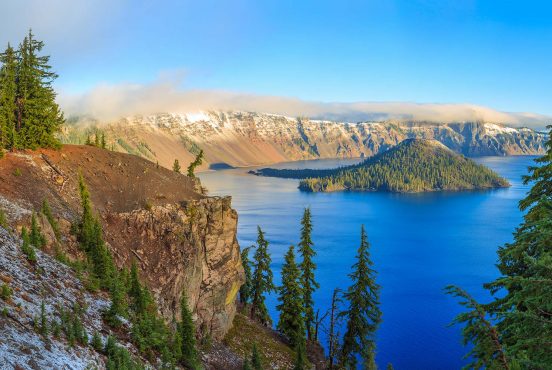
Most Colorado visitors think of the iconic Rocky Mountain National Park when they visit the Centennial State — but they’re missing out on the Western Slope’s secret gem: Black Canyon of the Gunnison National Park.
Towering cliff faces plunge over 2,700 feet into the narrow slice of the Gunnison River below, creating a spectacle unlike any other in the American West. Yes, there might be canyons elsewhere that are steeper, deeper, or narrower, but none that combine all three features into one unique geological formation like the Black Canyon of the Gunnison National Park.
The river sculpted the 48-mile steep-walled gorge, which is only 40 feet wide in places. Due to its steep and deep nature, the canyon is often cloaked in shadows, causing the dark gray stone walls to appear black, hence the namesake
Nestled in southwestern Colorado, this little-known national park is a hidden gem that receives far fewer visitors than its more famous counterparts, like Rocky Mountain National Park. Yet the dramatic beauty beckons adventurers seeking solitude amongst its rugged splendor.
After camping in the San Juan Mountains, our family stumbled upon this off-the-beaten-path destination. It was slightly out of the way on our journey home, but it was a highlight of our weekend. After all, what’s a road trip without a scenic detour?
Uninterrupted views stretched before us as we wound around the canyon rim, free from traffic and the bustle of crowds. Parking was a breeze, with plenty of stops every time we pulled off at a scenic viewpoint. And the best part? There was no need to edit out strangers from our photos—it was just us and the dramatic landscape. For a national park, it was surprisingly uncrowded. Black Canyon of the Gunnison is the least visited park in Colorado with just 300,000 visitors a year (compared to over 4 million at Rocky Mountain National Park).
If you’re looking for a smaller, under-the-radar National Park, the Black Canyon is worth a visit.

Best Photo Opps of Black Canyon of the Gunnison
The best way to discover the Black Canyon of the Gunnison National Park is via a scenic driving tour on the popular South Rim Drive. This 7-mile route features twelve scenic overlooks, each with a short walk to the viewpoint. And those viewpoints? Epic photos.
Scenic Drives with Epic Photos of the Black Canyon of the Gunnison
With twelve viewpoints, each offering a unique canyon perspective, you can stop at each one…or cherry-pick the best. Here are the must-visit stops to make the most of your journey:
Gunnison Point: The second viewpoint you’ll reach in the park, Gunnison Point, is just past the Visitor Center and offers picturesque views north across the narrow canyon and into the river below.
Pulpit Rock Overlook: A short trail leads to a viewing area, where the best perspective is upstream. There, you can see sweeping views straight into the canyon.
Chasm View: The viewing area at Chasm View overlooks the canyon’s steepest section, where the cliff plunges a staggering 1,840 feet in a mere 400 horizontal feet. It’s a dizzying effect looking straight down into the canyon.
Painted Wall Overlook: At 2,250 feet, this is Colorado’s tallest cliff. What’s stunning is not just its size but its unique coloring. Striking ribbons of light-colored pink pegmatite run horizontally through the dark Precambrian rock walls, a testament to the volcanic activity that sculpted this region.

Best Hiking Trails in Black Canyon of the Gunnison
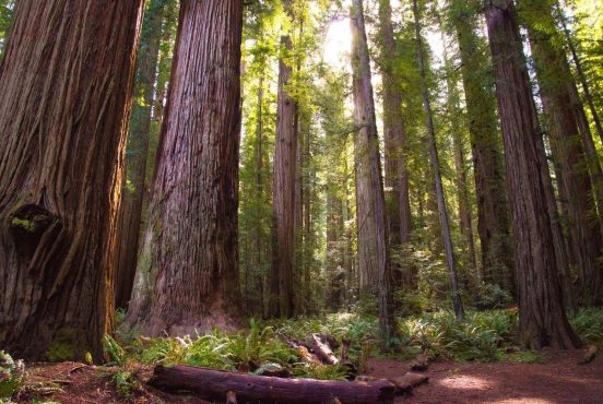
Several short strolls along the South Rim of the canyon provide up-close views into the valley below. While there are some trees, shade is minimal on most hikes.
Warner Point Nature Trail: The Warner Point Nature Trail offers a unique perspective when looking into the canyon rather than standing on the edge of a cliff. Starting at High Point, at the end of the South Rim Drive, the 1.5-mile out-and-back trail rolls along the ridgeline with minimal elevation gain. With all the short walks to the overlooks, we welcomed a slightly longer walk to stretch our legs. Along the hike, there are lovely views of the surrounding mountain ranges and into Uncompahgre Valley below. At the trail’s end, hikers are rewarded with 270-degree expansive views of the Gunnison River and the Black Canyon.
Oak Flat Loop: The Oak Flat Loop Trail is a 2-mile loop with 400 feet of elevation gain that begins near the Visitor’s Center. The trail skirts through forests and dips below the canyon’s rim, with some narrow and steep spots in the trail.
Rim Rock Nature Trail: The Rim Rock Nature Trail is an easy 1.5-mile out-and-back trail. Following the canyon wall, hikers peer into the steep-walled canyon below. Starting from the C Loop in the South Rim Campground, the trail follows the canyon as it heads north to the Visitor’s Center. To make this a loop, head back on the Upland Trail, which veers away from the canyon’s wall. For a longer hike, connect this trail with the Oak Flat Loop. Dogs are allowed on this trail if leashed.
Exploring the Inner Canyon of Black Canyon of the Gunnison
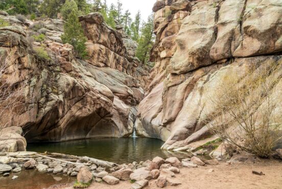
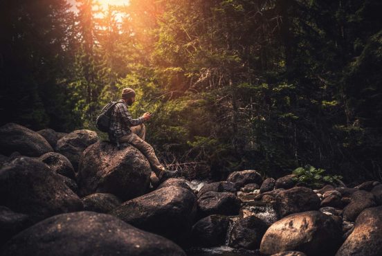
Few people venture into the inner canyon because it’s difficult to access and extremely remote. However, experienced and well-equipped adventurers can take advantage of the opportunities.
If you choose to explore the rugged depths of the Black Canyon, you’ll need experience, gear, and a wilderness permit, which are available at the Visitor Center on a first-come, first-served basis. A limited number of permits and people are allowed on each route daily. The hiking routes from the Rim to the river are very steep and challenging. Be prepared to scramble along the unmarked trail.
Additionally, expert paddlers can kayak the Gunnison River’s technical Class V rapids that cut through the canyon.

Seasonality: The Best Time to Visit
The best times to visit the Black Canyon of Gunnison National Park are late spring through early fall. If you’re planning a hike, just beware that the canyon’s dark black walls radiate heat, making it feel even hotter in the park than in the surrounding area. Summers can feel scorching here unless you opt for an early morning start.
The South Rim Drive usually opens in late April through mid-November. The North Rim Road and ranger station are closed from late November through mid-to-late April.
Where is the Black Canyon of the Gunnison National Park?
Black Canyon of the Gunnison is located in southwest Colorado, about 5 hours from Denver. There are two areas in the park. The South Rim is the most popular and easy-to-access area, located east of Montrose, 7 miles north of CO Highway 347 from the intersection of U.S. Highway 50.
Alternatively, the North Rim, accessed via a gravel road from Crawford, is more remote and receives fewer visitors. There is no bridge connecting the North Rim and South Rim Roads. Each side takes about 2-3 hours to explore.
Black Canyon of the Gunnison National Park Camping
There isn’t as much camping in the Black Canyon of the Gunnison as there is in other national parks, but the options are decent — and you won’t battle crowds at the few campground options within and near the park. Campgrounds are open from mid-May through mid-October.
With 88 sites, the South Rim Campground is the largest in the area and has numerous sites with electrical hookups. The North Rim campground is remote and has 13 dispersed sites available on a first-come, first-served basis. Additionally, the East Portal Campground is located along the Gunnison River within the Curecanti National Recreation Area, which is adjacent to the park.
Know Before You Go:
- Nearest town: Montrose (20 miles) or Delta (41 miles)
- Pet policy: No pets allowed on the trails. Leashed pets can walk on the paved paths to viewpoints, in picnic areas and campgrounds and on the Rim Rock Trail
- Dining: There are no restaurants in the park. Be prepared with your own food and water.
Find Your Next Adventure
Get epic travel ideas delivered to your inbox with Weekend Wanderer, our newsletter inspiring thousands of readers every week.
Seen in: Colorado, Hikes, National Parks